How the US Uses Satellites to Monitor Climate Change
The United States harnesses satellite technology to monitor climate change through Earth observation satellites, providing data on sea levels, ice cover, deforestation, greenhouse gas concentrations, and other crucial environmental factors.
Discover how the United States leverages its advanced satellite technology to track and understand the complexities of climate change, offering insights into a rapidly evolving world. From monitoring ice melt to tracking carbon emissions, satellites play a pivotal role. Let’s explore how is the US using satellite technology to monitor climate change?
The Role of Satellites in Climate Change Monitoring
Satellites have revolutionized our ability to monitor climate change, providing a global perspective that is impossible to achieve with ground-based instruments alone. These space-based platforms offer continuous and comprehensive data collection, which is crucial for understanding the complex dynamics of our planet’s climate system.
Advantages of Satellite Monitoring
Satellite monitoring offers several key advantages over traditional methods. They can cover vast areas, including remote and inaccessible regions, and provide consistent data over long periods.
- Global Coverage: Satellites can monitor the entire Earth, capturing data from every corner of the planet.
- Continuous Data: Continuous measurements are crucial for tracking long-term trends and detecting subtle changes.
- Remote Sensing: Satellites can measure parameters that are difficult or impossible to measure from the ground.
Furthermore, satellites can measure multiple variables simultaneously, allowing scientists to study the interactions between them. This holistic approach provides a more complete picture of the climate system, leading to more accurate predictions and effective mitigation strategies.
Key Satellite Missions for Climate Monitoring
The United States operates several key satellite missions dedicated to monitoring climate change. These missions provide critical data on various aspects of the Earth’s system, including temperature, sea level, ice cover, and atmospheric composition.
NASA’s Earth Observing System (EOS)
NASA’s Earth Observing System (EOS) is a cornerstone of climate change monitoring. It comprises a series of satellites designed to study different aspects of the Earth’s system.
- Terra: It monitors land, oceans, and atmosphere, providing data on temperature, humidity, and air pollution.
- Aqua: Studies the Earth’s water cycle, including evaporation, precipitation, and ice cover.
- Aura: It focuses on atmospheric chemistry, monitoring ozone levels and air quality.
Together, these satellites provide a comprehensive view of the Earth’s climate system, enabling scientists to track changes and improve climate models. The data from EOS missions are used by researchers worldwide to study the impacts of climate change and develop strategies for mitigation and adaptation.
Monitoring Sea Level Rise with Satellites
Sea level rise is one of the most significant consequences of climate change, threatening coastal communities and ecosystems around the world. Satellites play a crucial role in monitoring sea level, providing accurate and consistent measurements over time.
Satellite Altimetry
Satellite altimetry is a technique used to measure the height of the sea surface from space. Satellites equipped with radar altimeters emit microwave pulses towards the Earth and measure the time it takes for the pulses to return.
GRACE and GRACE-FO Missions
The Gravity Recovery and Climate Experiment (GRACE) and its follow-on mission (GRACE-FO) measure changes in Earth’s gravity field, which can be used to track the distribution of water around the planet. By monitoring changes in ice sheet mass and groundwater storage, GRACE and GRACE-FO provide valuable insights into the causes of sea level rise.
The data from these missions are used to improve climate models and inform policy decisions related to coastal management and adaptation.
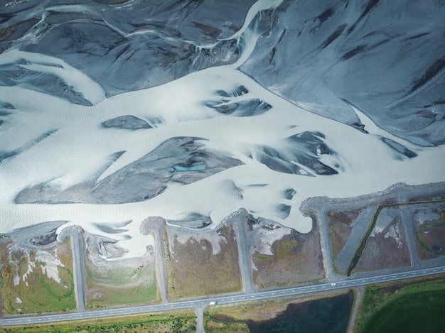
Tracking Ice Melt and Glacial Retreat
Melting ice sheets and glaciers are major contributors to sea level rise. Satellites provide critical data of ice dynamics in polar regions that is helping to forecast ice melt and glacial retreat, providing crucial information for climate models and future planning.
Satellite Monitoring of Ice Sheets
Satellites can monitor the area and thickness of ice sheets using various techniques, including radar altimetry and synthetic aperture radar. These measurements provide insights into the mass balance of ice sheets, which is the difference between accumulation (snowfall) and ablation (melting and calving).
Additionally, satellites can track the movement of glaciers and ice streams, providing information on their dynamics and stability. This data is essential for understanding how ice sheets are responding to climate change and predicting their future behavior.
Impact on Climate Models
The data from satellite monitoring of ice melt and glacial retreat are used to improve climate models and assess the vulnerability of coastal communities to sea level rise. Understanding the complex interactions between ice sheets, oceans, and atmosphere is crucial for projecting future climate scenarios and developing effective adaptation strategies.
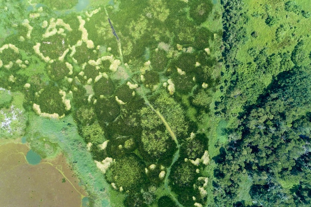
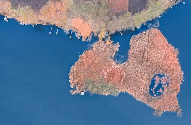
Monitoring Deforestation and Land Use Changes
Deforestation and land use changes are major drivers of climate change, contributing to greenhouse gas emissions and altering ecosystems. Satellites provide a powerful tool for monitoring these changes, enabling scientists and policymakers to track deforestation rates, assess the impacts on biodiversity, and promote sustainable land management practices.
Satellite Imagery and Forest Monitoring
Satellite imagery can be used to map forest cover, track deforestation events, and monitor changes in forest health. High-resolution images from satellites like Landsat and Sentinel provide detailed information on forest structure and composition.
By analyzing time-series of satellite images, scientists can identify areas where deforestation is occurring, estimate the amount of carbon released into the atmosphere, and assess the impacts on local climate and hydrology.
Sustainable Land Management
The data from satellite monitoring of deforestation and land use changes are used to promote sustainable land management practices and reduce greenhouse gas emissions. By providing timely and accurate information on forest cover, satellites can help governments and communities make informed decisions about land use planning and conservation.
This supports efforts to combat climate change, protect biodiversity, and enhance the resilience of ecosystems and human communities.
Measuring Greenhouse Gas Concentrations
Greenhouse gases, such as carbon dioxide and methane, trap heat in the atmosphere and contribute to global warming. Satellites can measure the concentrations of these gases, providing valuable data for understanding the causes and consequences of climate change.
Satellite-Based Measurements of Greenhouse Gases
Satellites equipped with spectrometers can measure the absorption of sunlight by greenhouse gases in the atmosphere. By analyzing the spectral signature of the absorbed light, scientists can determine the concentration of each gas.
Improving Climate Models
The data from satellite measurements of greenhouse gas concentrations are used to improve climate models and assess the effectiveness of mitigation strategies. By tracking changes in greenhouse gas levels over time, scientists can evaluate the impacts of human activities on the climate system and predict the future trajectory of global warming.
| Key Point | Brief Description |
|---|---|
| 🛰️ Global Coverage | Satellites monitor Earth globally, including remote areas. |
| 🌊 Sea Level Rise | Satellite altimetry tracks precise sea level changes. |
| 🌳 Deforestation | Satellite imagery monitors forest cover changes. |
| 🌡️ Greenhouse Gases | Spectrometers measure atmospheric gas concentrations. |
Frequently Asked Questions
▼
Earth observation satellites, including those in NASA’s Earth Observing System (EOS), are crucial. These include satellites like Terra, Aqua, and Aura, each designed to monitor different aspects of the Earth’s environment.
▼
Satellite measurements are highly accurate, often calibrated against ground-based data to ensure precision. Advanced sensors and data processing techniques contribute to their reliability and consistency over time.
▼
Yes, the US often collaborates with international partners in satellite missions. This includes data sharing and joint research projects to enhance global climate monitoring efforts.
▼
Data on climate variables collected from satellites are fed into sophisticated models that simulate Earth’s climate system, improving accuracy in climate change predictions and scenario planning efforts.
▼
Individuals can stay informed about climate change, support policies for sustainability, reduce their carbon footprint and participate in community science projects that complement scientific data.
Conclusion
The United States utilizes satellite technology to gather essential data on various climate indicators. These space-based observations allow for consistent and comprehensive analysis vital for tracking climate change, improving models, and implementing sustainable strategies for a more resilient future.


